Countryside for all routes have been designed with accessible requirements in mind.

An early morning walk is a blessing for the whole day
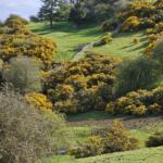
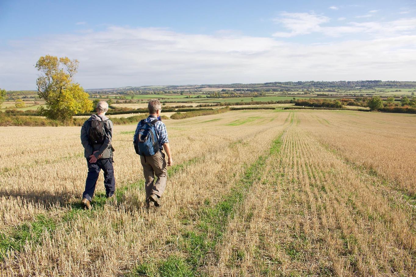
Rutland is the perfect place for walking and has long attracted ramblers who enjoy finding their way around the tiny villages, little known tracks and country lanes. One of the best features is that you’re never far away from a great village pub! Find a handy table of walks with route lengths and local pubs on our walking blog here.
Numerous enjoyable walks have been specially put together for you by experienced and knowledgeable locals, taking in some of the most beautiful parts of the county in five of our picturesque villages, each with a fabulous local pub! Click Exton walks – Braunston walks – Empingham walks – Ryhall walks – Wing walks.
Our collection of 7 Rutland Heritage Trails are available on our a digital guide. These are circular routes exploring our beautiful countryside, quaint villages and the occasional pub!
Rutland Local History and Record Society have an extensive collection of Local History Walks freely available on their website for all to enjoy.
The Discover Rutland Food & Drink Map features two suggested bike routes for road cycling;
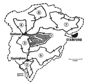
At Rutland Water, with it’s 22.1 mile circuit (or 15.1 miles without the peninsula), you can decide how far you want to venture, then turn around and head back. The distance between the car parks are roughly;
South of the county is the beautiful Fineshade Wood with play areas, cafe, cycling facilities and 3 walking trails to suit all;
The grand estates from our local Stately homes and castles also offer beautiful scenic routes; Burghley House – Rockingham Castle – Belvoir Castle
The Rutland Round, is a complete tour around the perimeter of the county launched in 2000, covering a route totalling 65 miles. The route can be broken down into sections, making the undertaking less daunting, and you can do this during the Rutland Walking Festival in May. A guide to The Rutland Round can be purchased from local bookshops, such as Walkers of Oakham on the High Street.
The Uppingham Round: A circular walk of around 80 miles with Uppingham at its geographical centre, it passes through the districts of Harborough (Leicestershire), Corby (Northamptonshire) and East Northamptonshire. It takes in some less trodden routes and crosses some of the most attractive countryside as well as visiting notable parish churches and offering views of the Harringworth viaduct.
The Melton Round: a 64 mile walk which circles Melton Mowbray, taking in northerly parts of Rutland, designed to take advantage of the fine views available in the area.
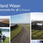
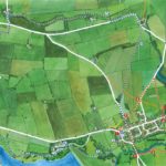
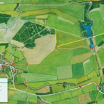
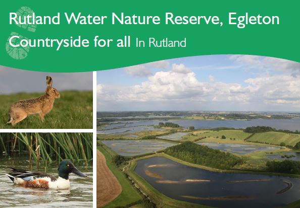
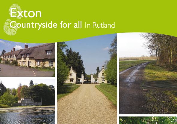
Countryside for All: There are three accessible countryside routes available in Rutland: Egleton Nature Reserve – Rutland Water – Exton
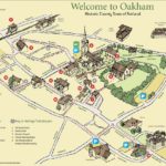
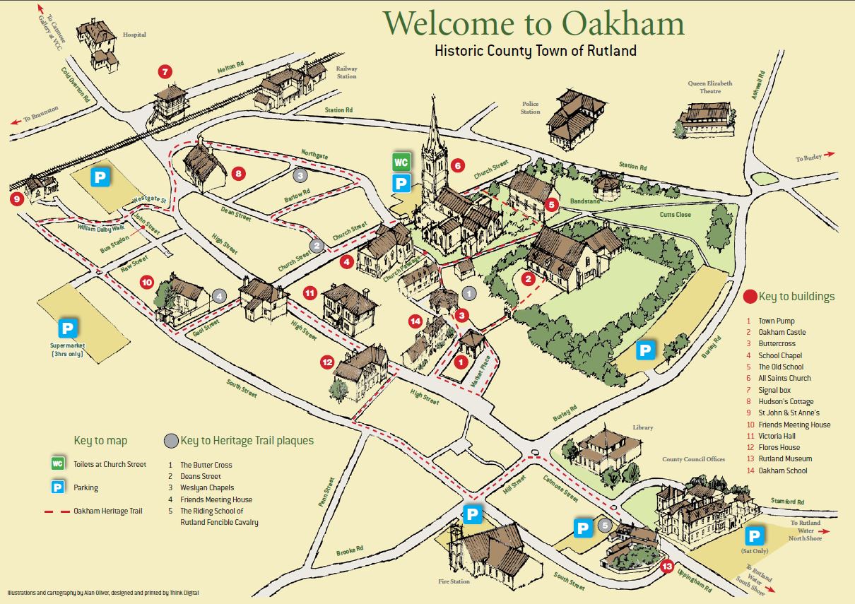
If you’d like to enjoy the character and history of our market towns and learn more about the stories of their past, with plenty of opportunities to sample the delights of nearby shops and cafes, then take a look at the Oakham Heritage Trail and Uppingham Heritage Trail for a wonderful day out.
There are several famous walking routes which pass through the county;
The Macmillan Way is a 290 mile route from Boston in Lincolnshire to Abbotsbury in Dorset, and was originally developed to raise money for Macmillan Cancer Support and has raised over £350,000 to date. It was opened as a fully signed and waymarked route in 1996. This route passes the south banks of Rutland Water.
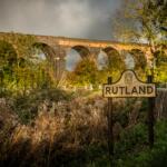
The Viking Way is a 147 mile route crossing an area historically occupied by Norse invaders. Starting in Hull, winds its way southwards from the Humber Bridge, through the Lincolnshire Wolds and finishes in Oakham. The official plaque marking the end of this historic route is outside the Rutland County Library.
The Hereward Way covers 110 miles, starting in Oakham and finishing in Thetford, Norfolk.
The Jurassic Way follows the band of Jurassic Limestone that runs along the northern boundary of Northamptonshire, along the Oxford Canal, via Middleton Cheney and Woodford Halse to Braunston on the Grand Union Canal. Here it passes between Market Harborough and Corby, following the Welland Valley to Rockingham with its castle. 90 miles long.
Discover the hidden gems of the East Midlands with these scenic drives that the whole family will enjoy.
If you’re looking for things to do during your visit to Rutland, take on one of our magnificent Mystery Driving Tours, starting in either Oakham or Uppingham. Each route takes in a different part of the county and provides a fascinating insight into the wealth of Rutland history that you can find in our beautiful villages and market towns. Castles, Palaces, a Royal Forest, film locations, a macabre past, medieval churches, steam engines and even reminders from the jurassic era – you’ll be surprised to find such a fusion of history, geology, architecture, science and Victorian industry all ready to tell an amazing story of the smallest county in England throughout the ages!
Download Your Mystery Driving Tours Here:
Several books have been published detailing interesting walks around the county for all ability levels. The Rutland Walking & Cycling Festival has been held towards the end of May each year for the last 10 years. It’s a superb celebration of Rutland’s glorious countryside with lots of top tips for getting the best out of cycling and walking your way around Rutland.
Countryside for all routes have been designed with accessible requirements in mind.
A single site vineyard in between two valleys located on Jurassic limestone soil.

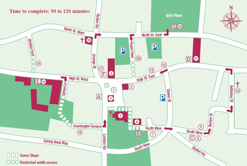
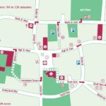
A guided walk through Uppingham’s Heritage. There are 20 identified sites numbered on the map.
Oakham, the county town of Rutland, is a classic English market town, mentioned in the Domesday Book of 1086. It has a castle, market place, butter cross and stocks, a famous old school, all in close association with a magnificent parish church and arranged in a rectangular shape around which the town has grown.
Countryside for all routes have been designed with accessible requirements in mind
Part of the new Discover Rutland Food & Drink Map is this Southern Route of 23.7 miles. The route follows rural roads and an option to join the Rutland Water cycle paths.
Countryside for all routes have been designed with accessible requirements in mind
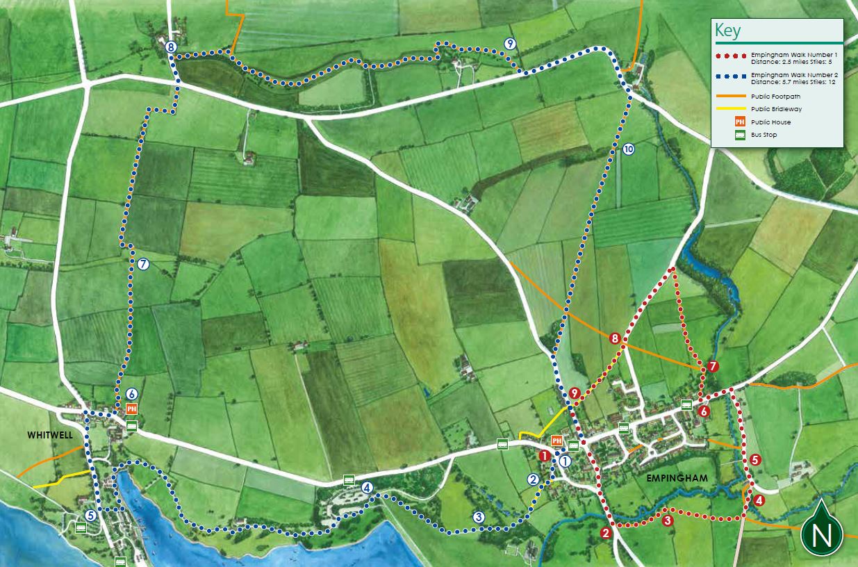
Two circular walking routes taking in the countryside around Empingham and Rutland Water, starting at The White Horse.
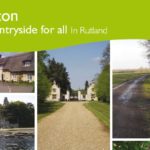
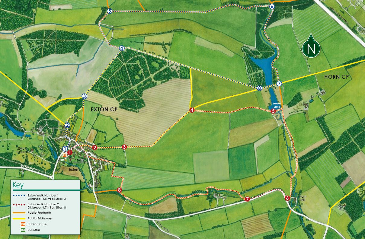
Two picturesque walks from the village of Exton, starting at The Fox and Hounds at the village green.
17/05/2024 - 19/05/2024
Market Place, High Street Eas, Uppingham, Rutland, LE15 9PY, United Kingdom

Anglian Water Birdwatching Centre, Rutland Wate, Egleto, Rutland, LE15 8BT, United Kingdom
Powered by ![]()