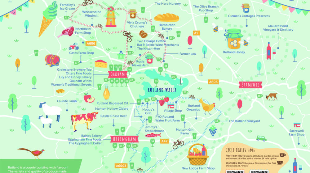
Description
Part of the new Discover Rutland Food & Drink Map is this Southern Route of 23.7 miles. The route follows rural roads and an option to join the Rutland Water cycle paths. You can also enjoy a bike ride on our northern route.
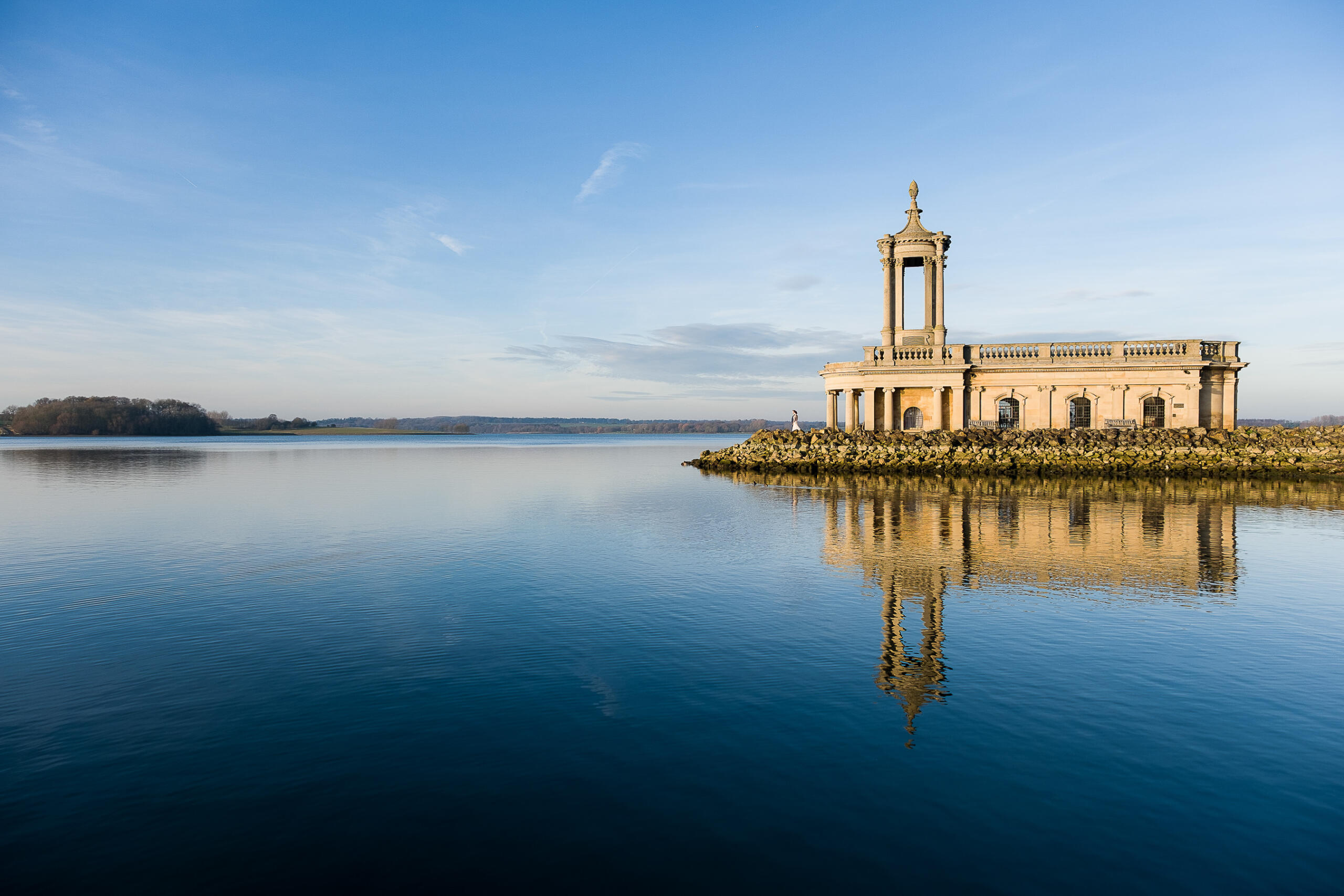
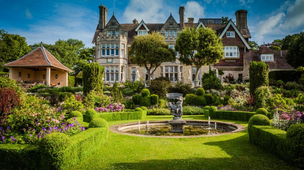
Starting at Normanton, Rutland Water, this route passes through the villages of Ketton, Barrowden, Lyddington, Wing and Lyndon, with an option to pop into the market town of Uppingham. It enjoys views of the Welland Viaduct, Lyddington Bede House and Rutland Water, plus particularly scenic spots through Ketton and Barrowden duck pond.

The Route;
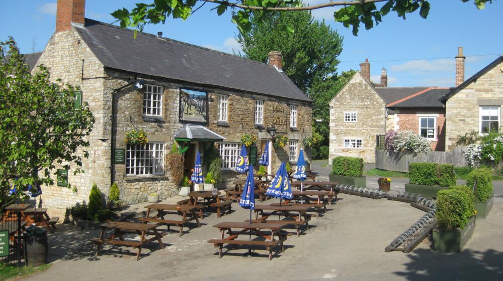
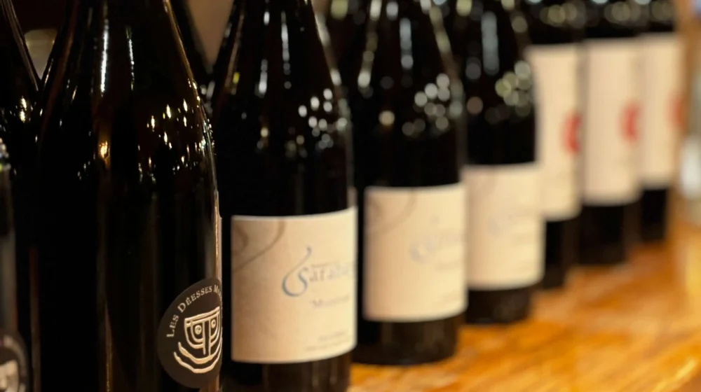
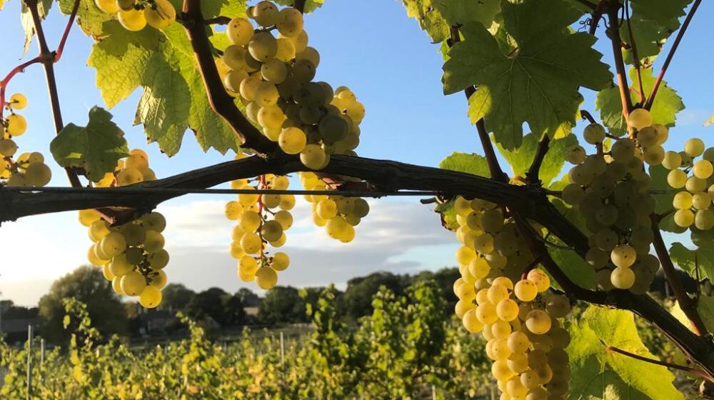
Paid parking is available at Normanton Car Park, where there is the Waterside Café and bike shop onsite. Exit the car park onto the road turning left, then take the next right onto Wytchley Road. At the cross roads in Ketton, go straight ahead onto Church Road. Following signs for The Rutland Vineyard, turn right onto Station Road then right again onto Barrowden Road. Cross the A47 heading for Barrowden. Bear right into the village following Main Street passing Exeter Arms. At the junction turn left onto Seaton Road.
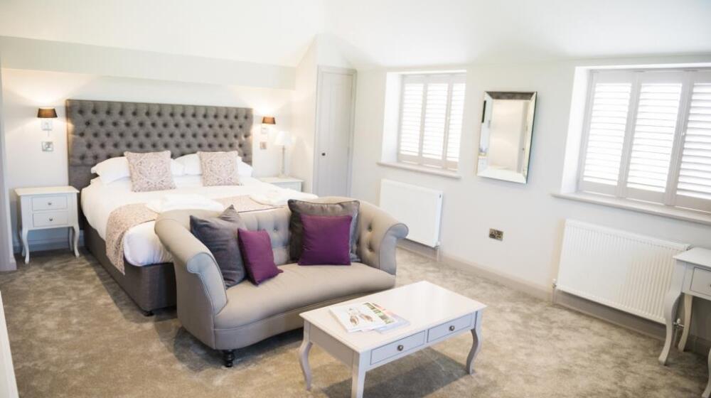
Follow the road under the viaduct, turning right onto Seaton Road, then bear left towards Thorpe By Water. Take a right after the village, onto Thorpe Road, then right onto Lyddington’s Main Street passing the Marquess of Exeter. Out of the village, bear right towards Bisbrooke.
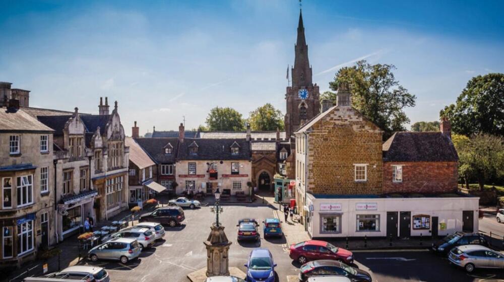
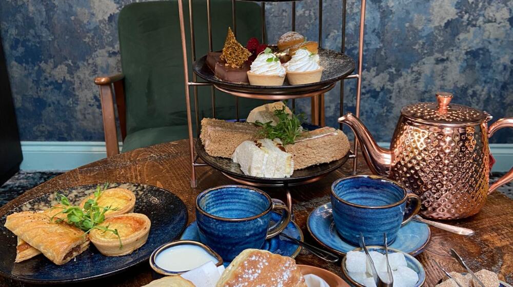
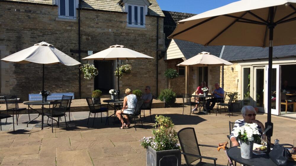
- If you wish to visit Uppingham take a left onto Seaton Road and straight over the roundabout onto North Street East – the Yarn Market Car Park has bike racks available [LE15 9QJ]. You can re-join the route by taking the exit for Glaston Road back at the roundabout, passing Welland Vale Garden Centre with Orchard Cafe, heading right onto the A47 then taking the next left onto Baulk Road.
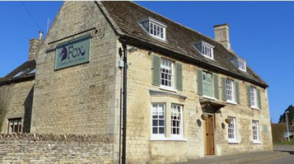
Bead left through Bisbrooke on Top Lane, and left again onto Baulk Road. Cross the A47 onto Baulk Road. Bear left to go over a railway bridge then right onto Wing Hill. Turn right onto Top Street, passing The Kings Arms, Jimmy’s Smokehouse and Wing Maze. Continue out of the village on Morcott Road and turn left onto Lyndon Road. Follow this road through the village of Lyndon and out with the road name changing to Church Road.
At the junction, you can
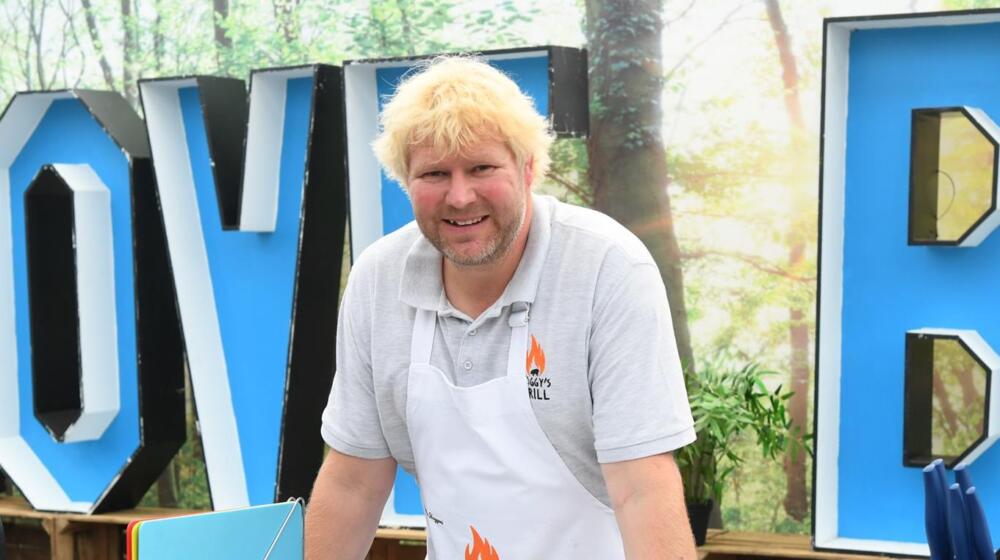
- detour left to see Rutland Nursery, The View Restaurant and home of Hoggy’s Grill Cookery School
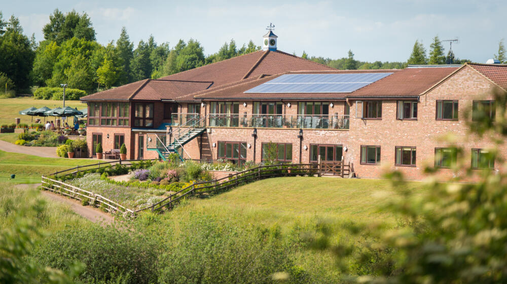
- Head right to remain on road surfaces, following Manton Road past Rutland Water Golf Club Courtyard Cafe, and Pick Your Own Farm, turning left at the roundabout onto Normanton Road and back to the car park on your left
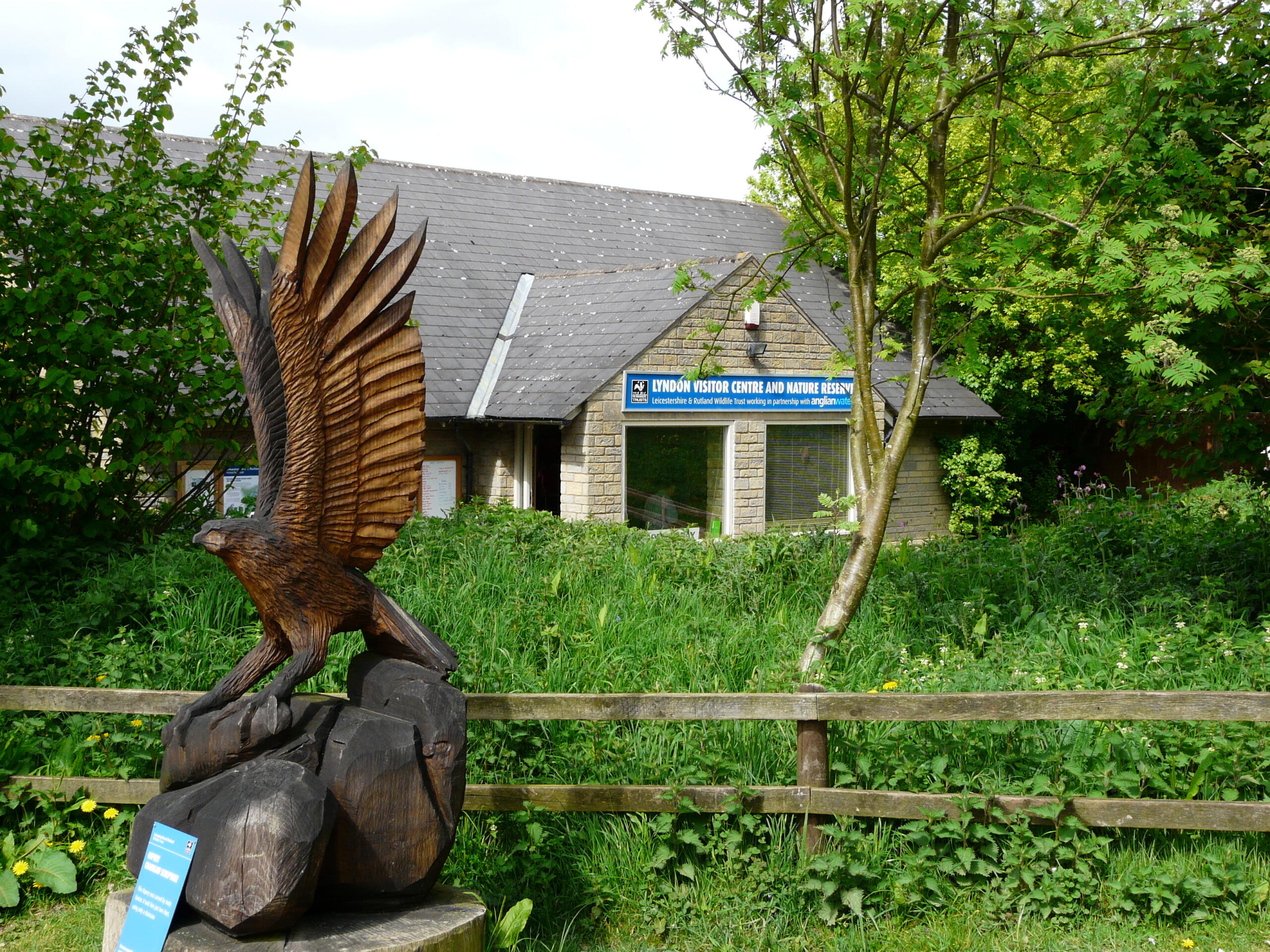
- Go straight over towards Lyndon Nature Reserve, with visitor centre and refreshment kiosk, joining the Rutland Water bike path going right towards Normanton, entering the car park after passing Rutland Water Sailing Club.
Download the Google Map of this route here