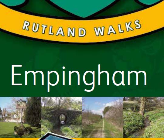
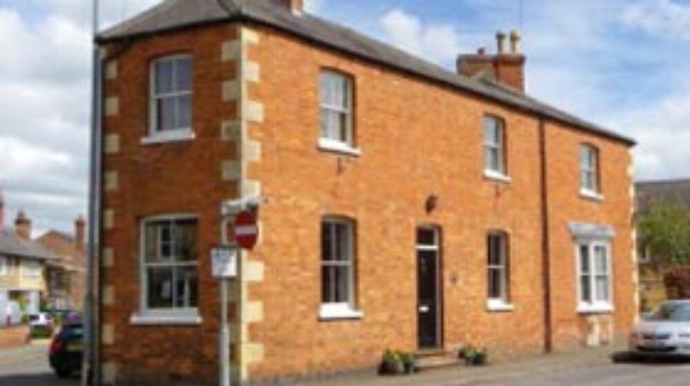
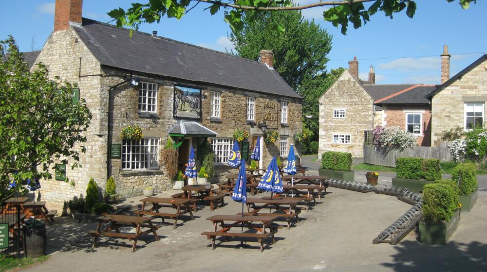
Description
Two circular walking routes taking in the countryside around Empingham and Rutland Water, starting at The White Horse.
Empingham walk 1 (red) – distance 2.5 miles
Empingham walk 2 (blue) – distance 5.7 miles
Download the Empingham walks pdf here
Empingham Walk Number 1
1. Standing with your back to the White Horse Inn, turn left and follow Main Street to the cross roads. Turn right at the crossroads to head in the direction of Stamford and Ketton. Walk down the hill past St Peters Church and Barbara’s Store, continuing out of the village to join the footway alongside the A606.
2. Shortly after crossing Church Bridge turn left on to the driveway of a bungalow (Woodlands) where you will see a sign post indicating a public footpath. Go through the gate at the end of the driveway and continue along the edge of an arable field and cross a stile.
3. Continue in the same direction across two more arable fields, but as you near the far side of the second field turn left on to a track around the field’s edge rather than crossing the stile in front of you.
4. After a short distance you will find a green bridge that will take you back over the River Gwash. After crossing the bridge immediately ahead you will see a farmhouse, aim for the right of this where you will join Mill Lane.
5. Follow Mill Lane, which runs parallel to the North Brook, all the way to its junction with Main Street. Turn left at the junction and proceed up the hill and back into the village.
6. On your right you will soon find a sign post indicating a public footpath known as Gunnel Lane. Continue down the lane, past a small stream, to a field gate with a stile alongside it. Pass over the stile and enter in to a large grass field that is a little marshy in places.
7. Follow a well worn track through to a stile in the far corner of the field. Climb over the stile and cross an arable field to a stile at the junction with Loves Lane. Turn left and start walking up the hill.
8 After five minutes or so you will find sign posts on your right indicating the presence of both a footpath and a bridleway. Pass through the bridle gate and follow the bridleway around the left side of the field.
9 Continue on the bridleway until it joins the Exton road. Turn left and after a short distance you will find yourself back at the crossroads with Main Street. Turn right and retrace your steps back to the White Horse Inn.
Empingham Walk Number 2
1. Standing with your back to the White Horse Inn, take care crossing the busy A606 to your right and then join Nook Lane. Follow the lane until you see a sign post marked Hereward Way / Rutland Water on your right. Turn right and follow the path between two houses.
2. Pass though a bridle gate into a pasture field and make your way towards a stile in the opposite corner. Cross the stile, turn right, and cross a second stile that is straight ahead. A track now leads you up some steps and through a small spinney to a stile.
3. Climb the stile and enter a pasture field. Directly ahead is another stile. Cross this, turn right and follow the edge of the field until you reach a metal hand gate alongside a field gate. Pass through the gate and turn left on to the road.
4. Following the Rutland Water perimeter track, now look for signs for Whitwell. Stay on the perimeter track for 20m minutes or so, until you reach Whitwell Sailing Centre. At the entrance to the Sailing Centre, where it joins Bull Brig Lane, take a right.
5. Follow Bull Brig Lane in to Whitwell village, and to the A606. Cross the road with care, turn right and head towards the Noel Arms Inn. Turn left in to the driveway of the Noel Arms. Stay left and follow a footpath running down the side of the garden.
6. In the far corner of the garden on the left is a kissing gate. Go through the kissing gate and turn right. Immediately ahead is another gate. Go through this and then continue straight ahead to the corner of the field. Climb another stile that leads you to a wide grassy track around the edge of an arable field. Stay on the track until you reach a kissing gate under a large maple tree.
7. Proceed through the kissing gate and the small plantation beyond, turning right as you exit through a second gate. Continue to follow the footpath around the edge of the next few fields and at the junction with Oxwell Road cross straight over and head toward Exton.
8. Just before you cross the bridge and enter the village turn right on to a footpath. Stay to the right is the track opens up, and follow the course of the stream. After 15 minutes or so cross the bridge on your left and follow the footpath up the slope and around to the right.
9. Continue on this track until you reach a stile on your right. Climb the stile and proceed up the hill. On reaching the road turn left, walking along the wide grass verge. Just past the entrance to Horn Mill there is a footpath on your right. Climb the ladder stile and head straight across the field to Horn Mill Spinney.
10. Follow the path through the spinney and then across the arable field beyond that. Continue in this direction until the path reaches Warren Spinney. Make your way around the spinney and turn left on to Exton Road. Walk down the hill and turn right at the cross roads. The White Horse Inn is now just ahead on your right.