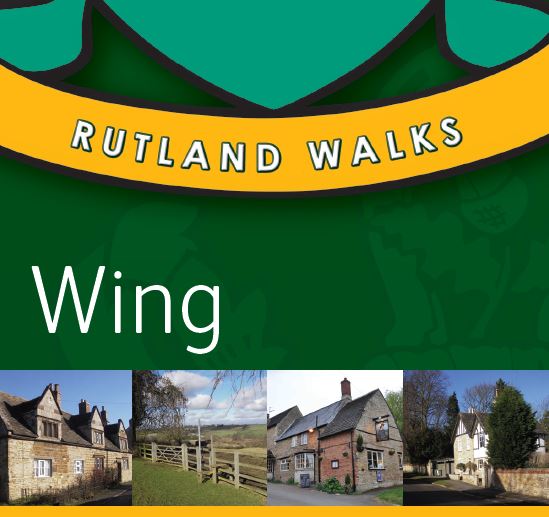
Description
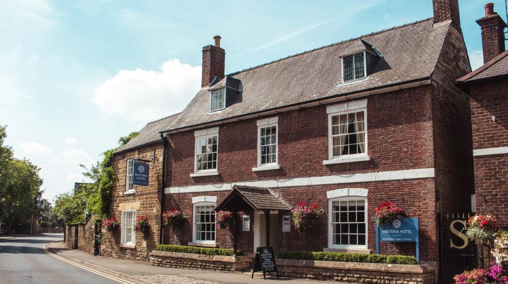
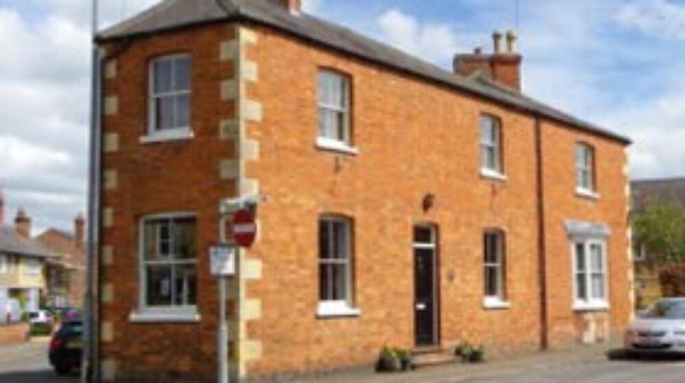
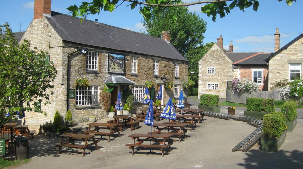
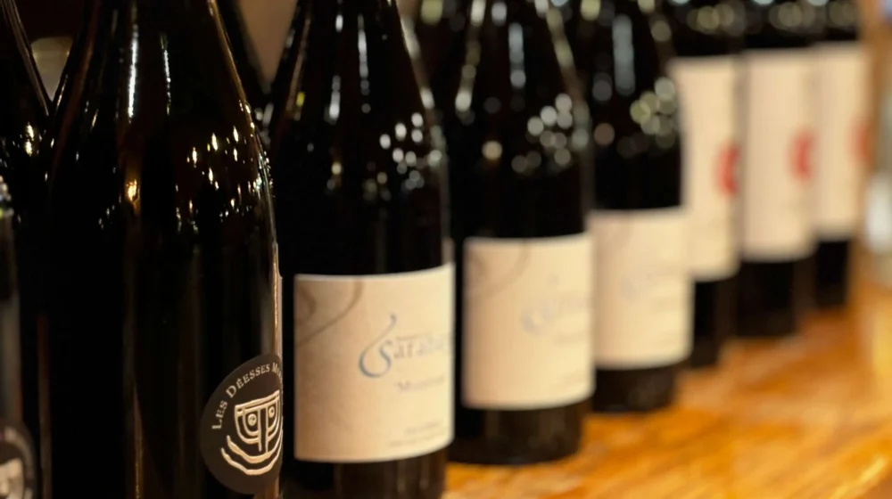
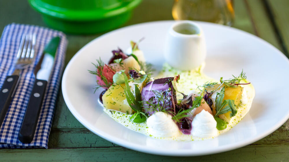
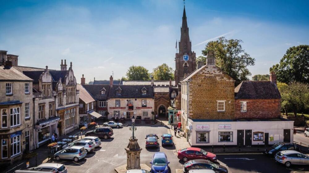
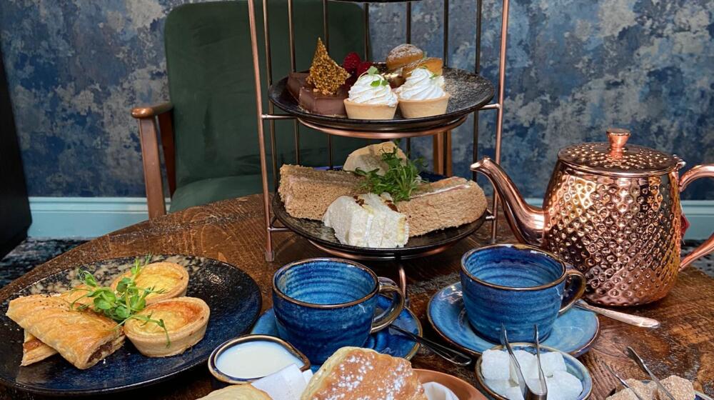
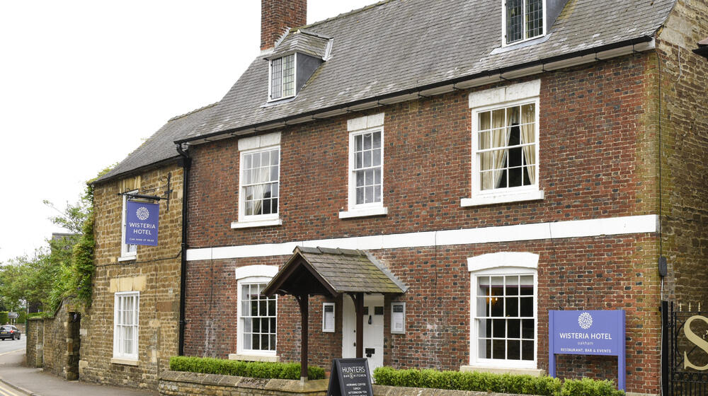
Two countryside walks, both starting at a great village pub, The Kings Arms.
Wing Walk 1 – Distance: 8.4 km (takes you to Lyndon Nature Reserve on the edge of Rutland Water)
Wing Walk 2 – Distance: 2.8 km
Download the Wing walk pdf here
Wing Walk Number 1. Start from the Kings Arm Inn.
1 Standing with your back to the Kings Arms Inn cross over the road so you’re standing at the top of Middle Street. Continue down the hill and turn right at the junction with Bottom Street. Very soon you will see a stile on your left, climb over the stile and make your way along the fields’ edge to the bottom of the hill. Turn right to walk parallel with the railway until your reach a gate marking the crossing. Cross the railway with care and continue along the fields’ edge before turning to head directly across the field to a waymark post on the opposite side. Now follow the river bank to an old stone bridge.
2 Cross the stone bridge and, ignoring the footpath on your right, continue straight ahead to join the bridleway and follow the fields edge to the junction with Lyndon Road at the top of the hill. On the opposite side of the road you should see the old Lyndon Lane leading down to the nature reserve.
3 Follow the road down to the nature reserve. Pass through a hand gate and turn right at the foot of the hill. Continue along the stone track for around 500 metres with Rutland Water to your left, watching for a footpath sign on the right. Turn right at the sign, pass through a kissing gate and bear left as you make your way to the top of grass field. Make your way to a gate in the corner, go through it onto a track and opposite you will see another gate. Go through the second gate and make your way along the fields edge until you reach the junction with Manton Road.
4 Cross Manton Road with care and turn left to walk along the verge for about 200 metres until you see a bridleway sign. Turn right and follow the bridleway as it winds its way through Lyndon Wood. Bear left after passing through a field gate at the bottom of the hill and as you walk across the field you will see a gate in the hedge that will bring you out on to Church Road, Lyndon. Turn left and follow the road past the entrance to Lyndon Hall and through the village. Pass Luffenham Road and Post Office Lane and as you reach the edge of the village you will see a footpath sign on your right.
Wing Walk Number 2. Start from the Kings Arm Inn.
1 Standing on Top Street with your back to the Kings Arms Inn, cross over the road and walk down Middle Street. Turn left at the junction with Bottom Street and after a short walk you should find a footpath sign and a stile on your right.
2 Climb the stile and as you begin making your way across a paddock head over to the left and look for an old stile and a waymark post in the fence ahead. After you cross the stile turn right and keep to the edge of the field as you continue down the hill, crossing a temporary haul road on your way. As you near the bottom of the hill a wooden bridge over the river Chater should come in to view.
3 Cross the bridge and immediately bear left. Look for a gap in the hedgerow where you should find an old gate and a waymark post. Passing through the gap will bring you out in the corner of another pasture field. Head straight across the middle of the field to the opposite corner, crossing the temporary haul road once again, where you will find a wooden field gate alongside the remains of an old stile.
4 Pass through the gate and ahead of you will be a brick arch railway bridge, but in front of that is another wooden field gate with a hand gate at one side. Go through the gate and under the bridge, and then follow the track to its junction with Wing Road / Station Road.
5 Take a left at the junction then follow the road downhill to Crown Well Bridge and Wing Hollow. Cross over the river Chater once more and after passing small row of cottages look for a bridleway sign on your left.
6 Join the bridleway and pass through a number of gates as you make your way across a small paddock towards another brick arch railway bridge. Pass under the bridge and you will immediately see a bridle gate. Make your way through the gate, and then another just a short distance ahead before starting to make your way back up the hill towards the village.
7 After crossing three more pasture fields separated by yet more gates you will eventually arrive at a set of metal gates marking the end of the bridleway and its junction with the corner of Bottom Street and Reeves Lane. As you enter the village turn right on to Reeves Lane and make your way up the hill. Turn left at the junction with Top Street and after a minute or two you will back at the Kings Arms Inn.
5 Take the footpath across an arable field, with views of Lyndon Hall to your right. On the opposite side of the field pass through a small spinney and use the stepping stones to cross a small stream. As you emerge from the spinney turn left and then follow the path around the edge of the next two fields. You will soon arrive at the old stone bridge you crossed previously.
6 Cross the bridge and stay left as you make your way to the gates at the railway crossing. Take care crossing the railway and follow the track to the top of the hill where it meets Morcott Road.
7 Turn right and follow the road through the village until you reach your starting point at the Kings Arms.