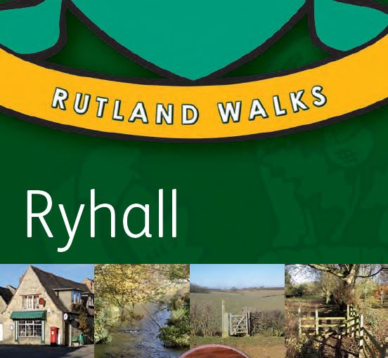
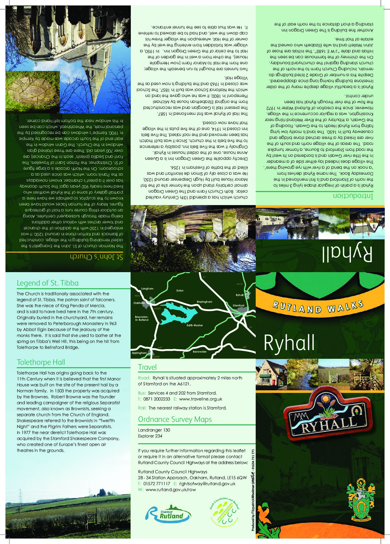
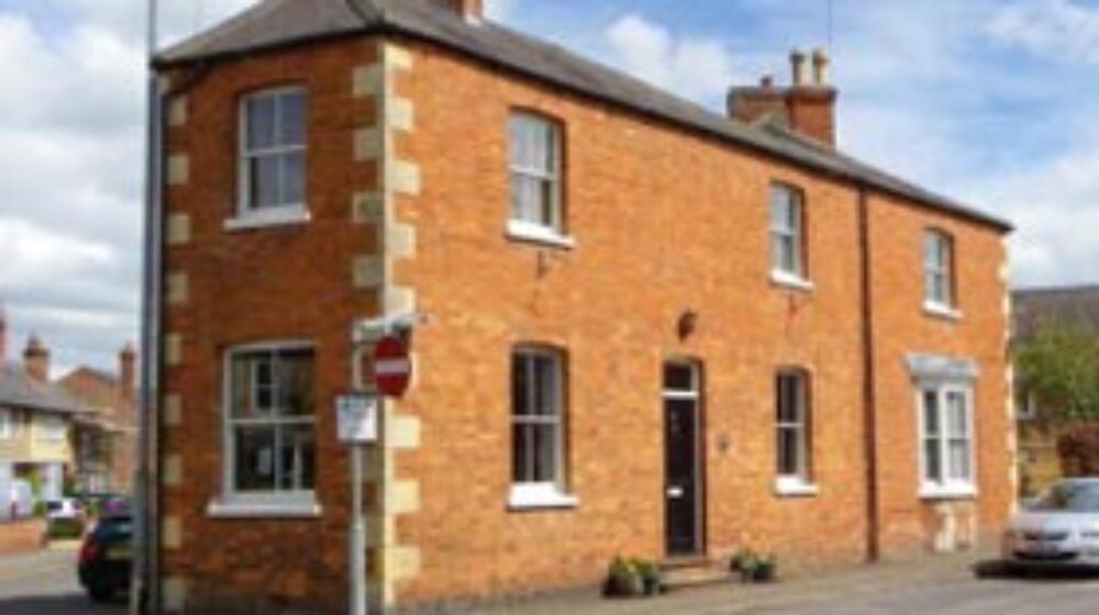
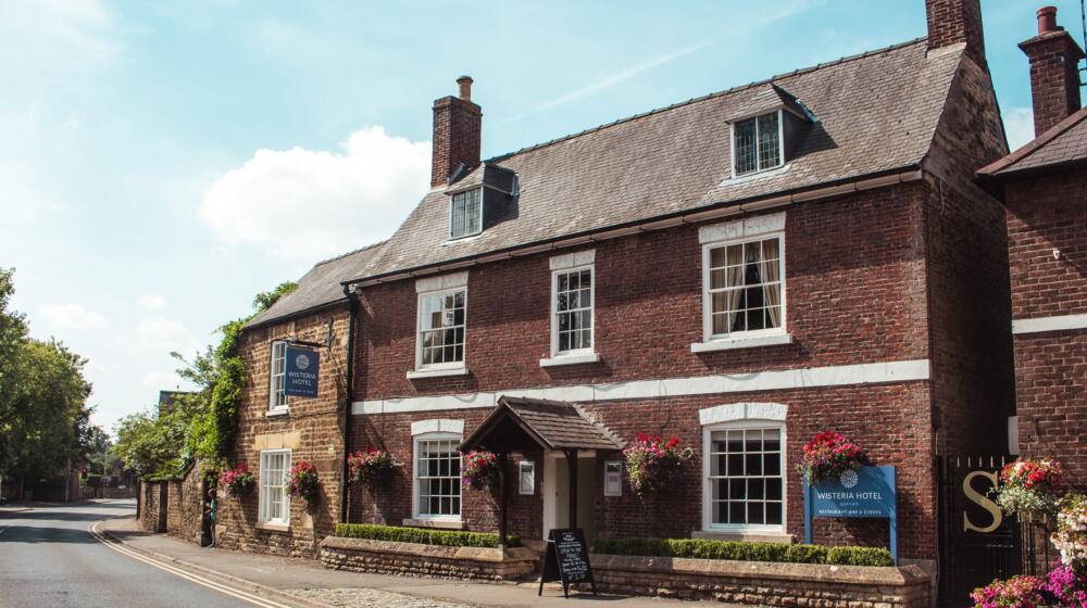
Description
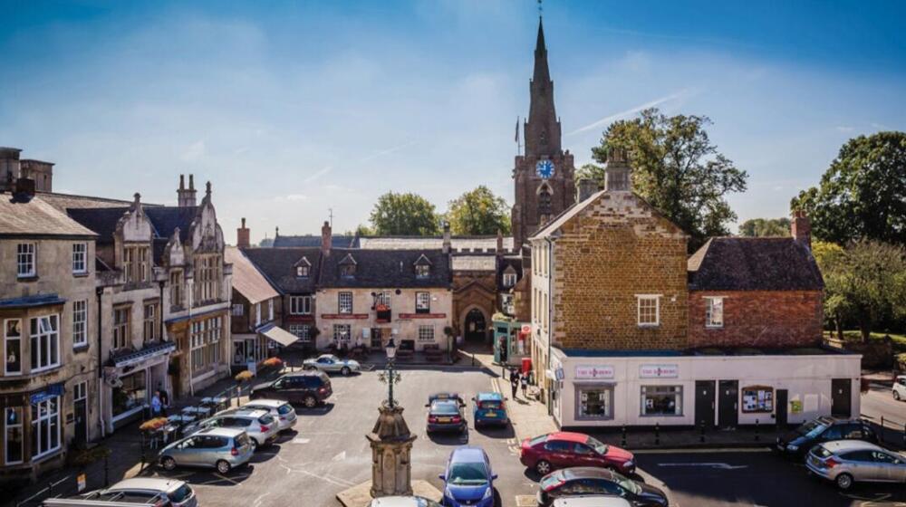
Enjoy these two rural routes from this lovely Rutland village of Ryhall, both starting at the village hall.
Ryhall Walk Number 1 (red) – Distance: 4 miles
Ryhall Walk Number 2 (blue) – Distance: 3.8 miles
Download the Ryhall walks leaflet pdf here
Ryhall Walk Number 1. Start from the Village Hall.
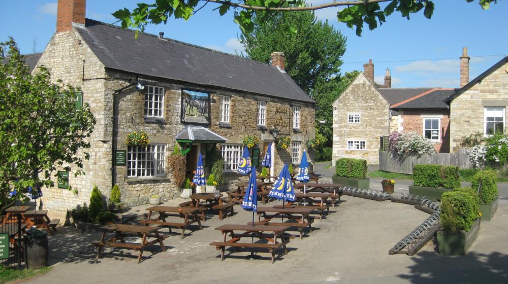
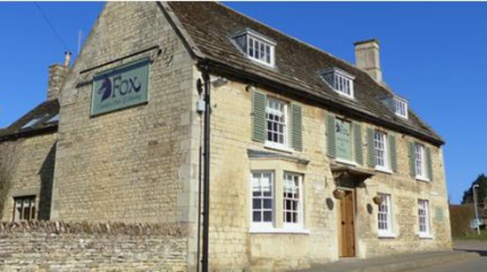
1 Stand outside the village hall facing the library. Turn left and walk downhill, passing the church on your left, towards the village square. On arriving in the square, with the Green Dragon Inn ahead and on your left, take a right on to Bridge Street.
2 Cross the bridge over the river Gwash and turn left on to Mill Street. Continue to the junction with Turnpike Road. Cross the road with care, turn left and after a short distance you will find a footpath signposted on your right. Follow the footpath and bear left as it opens out into a large arable field.
3 At the top of the hill is a field gate at the junction with the Careby Road. Cross over the road to the entrance to Top Farm. Climb the stile on your right and continue in this direction, passing over a second stile and through a gap in a hedge, until you reach the junction with a farm track.
4 Turn left and take the track past Ryhall Grange to its end at the top of a large arable field. Walk diagonally across the field heading for gate that will be visible in the hedgerow ahead. Pass through the gate and continue in the same direction. As you reach the end of the next field you will find a stone bench with “Joe’s Corner” carved in to it.
5 Continue in the same direction up the hill to a stile in the opposite corner of the field. Climb the stile and turn right on to an old tarmac byway known as The Drift. Follow The Drift to its junction with the Careby Road and turn right. After a short distance you will see a bridleway on your left.
6 Follow the bridleway around the fields edge, through a small spinney, and then up a hill. On reaching the top of the hill a row of trees will be visible in the distance which marks the bridleways junction with the Essendine Road.
7 Cross over the road and turn right. After around 10 minutes, as the path starts to head down hill, you will find a footpath on your left. Climb over the stile and follow the footpath to a kissing gate on the opposite side of the field. Continue down the hill, passing through a number of gates on your way, until you emerge on to a byway called ‘Back Lane’.
8 Cross over the lane, climb over a stile and then follow the path around the edge of a garden and down to its junction with Foundry Road. Looking ahead and to the right you will see the white bridge over the river Gwash again. Cross over the bridge and retrace your steps through the village and back to the village hall.
Ryhall Walk Number 2. Start from the Village Hall.
1 Standing outside the village hall facing the library, turn right and follow Balk Road, passing the entrance to the old Manor House on your right. When you reach the junction with the Stamford Road, cross with care and follow the farm track straight ahead of you.
2 Follow the track for five minutes or so, with the river Gwash on your right, until you find a footpath branching off to the left across an arable field. At the top of the hill is a gap in the hedge and a stile. Climb over the stile and cross a small enclosed area of grazing land, before meeting another stile at the junction with Salters Lane.
3 Follow the lane down the hill, past the entrance to the old Mill and over the river Gwash. Stay on the lane as it bends sharply to the right and continue to its junction with the Casterton Road.
4 Turn left and after a short distance you will find a signpost on your right pointing towards a wooden gate. Pass through the gate proceed along a track enclosed by tall hedges on either side. When you reach a junction with another track cross straight over.
5 Continue along the edge of a large arable field past a number of waymark posts. Before too long a short wooden sign post will become visible pointing to a footpath on your right.
6 Pass between the wooden posts and over the ditch then make your way across an arable field, heading towards a gap in the hedge at the top of the hill. Pass through the gap and over a shallow ditch. Cut across the corner of the next field and then continue in the same direction, heading for the corner of this much larger arable field where a waymark post marks the boundary.
7 Continue across yet another arable field and in the distance Ryhall now becomes visible. Walk downhill towards the village until you reach a stile at the footpaths junction with Turnpike Road and Careby Road. Bear slightly to the left and follow Turnpike Road until you reach the junction with Mill Street on your right.
8 Following Mill Street with the River Gwash on your right you will soon reach a white bridge. Turn right over the bridge and you will soon arrive in Ryhall village square. Walk straight ahead, taking the path past the Green Dragon Inn that leads you into the Church Yard. Follow the path through the churchyard and onto to Church Street, which leads you back to the village hall.